About MAPME
MAPME is an initiative by KfW, MapTailor Geospatial Consulting, and Agence Française de Développement to provide free and open access to GIS tools and Earth observation in international development cooperation. MAPME is a community-driven initiative to jointly develop tools and solutions that help us to plan, monitor and evaluate our projects with the help of earth observation and Geographical Information Systems (GIS). MAPME repositories contain R codes that will allow you to generate various statistics on land use / land cover and vegetation trends to gain insights in your project area – these methods can – for example – be used to assess outcome indicators # or to monitoring the progress in your projects. At the time being, the MAPME repositories encompass three main functionalities:
Analyze, maps and quantify land use / land cover (LULC), such as change in forest cover or cropland via the
{mapme.forest}and {mapme.classification}packages.vegetation productivity change and trend assessments, e.g. to map landscape degradation or rehabilitation via {mapme.vegetation} package
Assessing agricultural productivity through the FAO WaPOR platform via this package
About this package
mapme.agriculture is a R package that supports users to query, download and process data from the FAO WaPOR API. The data provided by FAO covers the African continent and the Middle East. It can be used to assess agricultural productivity and water consumption by crops or other plants. The package helps to quickly query and download the necessary data files to conduct an analysis of agricultural productivity related to biomass production and the amount of water used by crops and other vegetation types. WaPOR data is available at different spatial resolutions (30, 100m, 250m) for the complete African continent starting from the year 2009. While there exist finer resolution data for some selected locations, it is the 100 meter product that is of primary importance for the {mapme.agriculture} package. Its primary function is to calculate the net biomass water productivity, that is the amount of water that is used by crops and plants to produce biomass. Based on this parameter as well as others, several indicators about the productivity are calculated on a pixel basis. This allows for a pixel-wise trend calculation as well as a comparison between epochs, e.g. in pre-post analysis of project interventions.
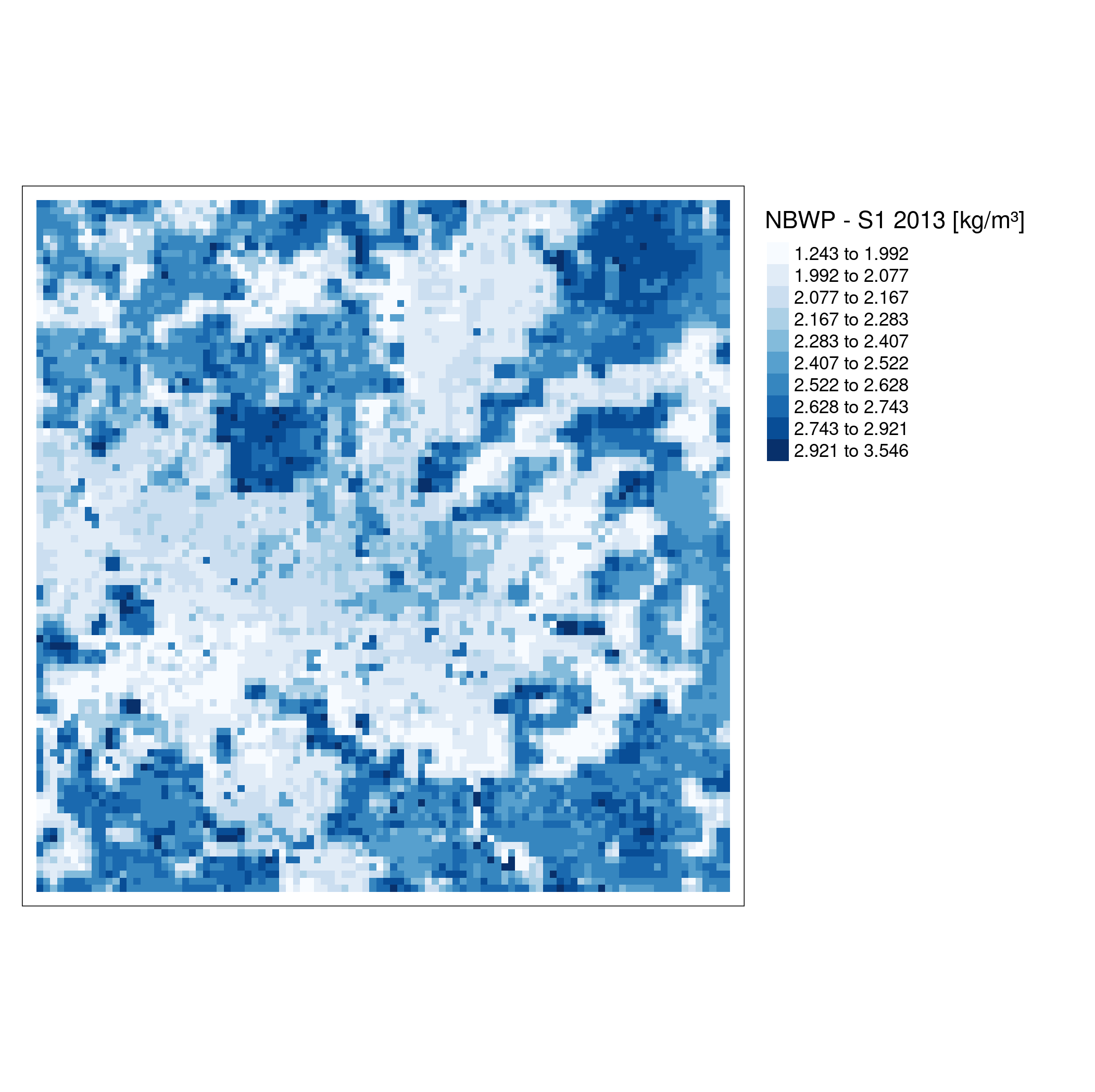
An examplary map of net biomass water productivity.
Ressources
The tutorial for the usage of the {mapme.agriculture} can be found here. Please visit this page in order to get to know the API of {mapme.agriculture}.