Step 2: Validate
Overview
Tool: Online validator
Performed by: external consultants
Maintained by: KfW Team Data Analytics & Artificial Intelligence (DAI)
Previous step: 1 Collect
Next step: 3 Visual plausibility check
Purpose
Validate Project Location data from the Collect step. A successful validation produces a GeoJSON file with a timestamp and unique filename.
Requirements
- Output from Step 1: Collect (Excel or GeoJSON)
- Use the Online validator
Procedure
-
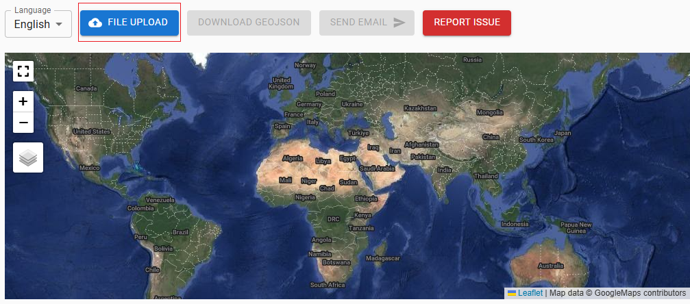
Upload the project-level locations file on the online validator website by selecting the blue File Upload button.
-
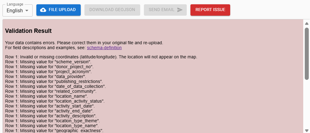
Review the validation result on the screen. A failed screening will result in validation errors (red background) indicating the data row where the error occurs in the PLM and a short message describing the type of error - please see examples below. In these cases, please correct the errors and upload the updated file for validation again.
-
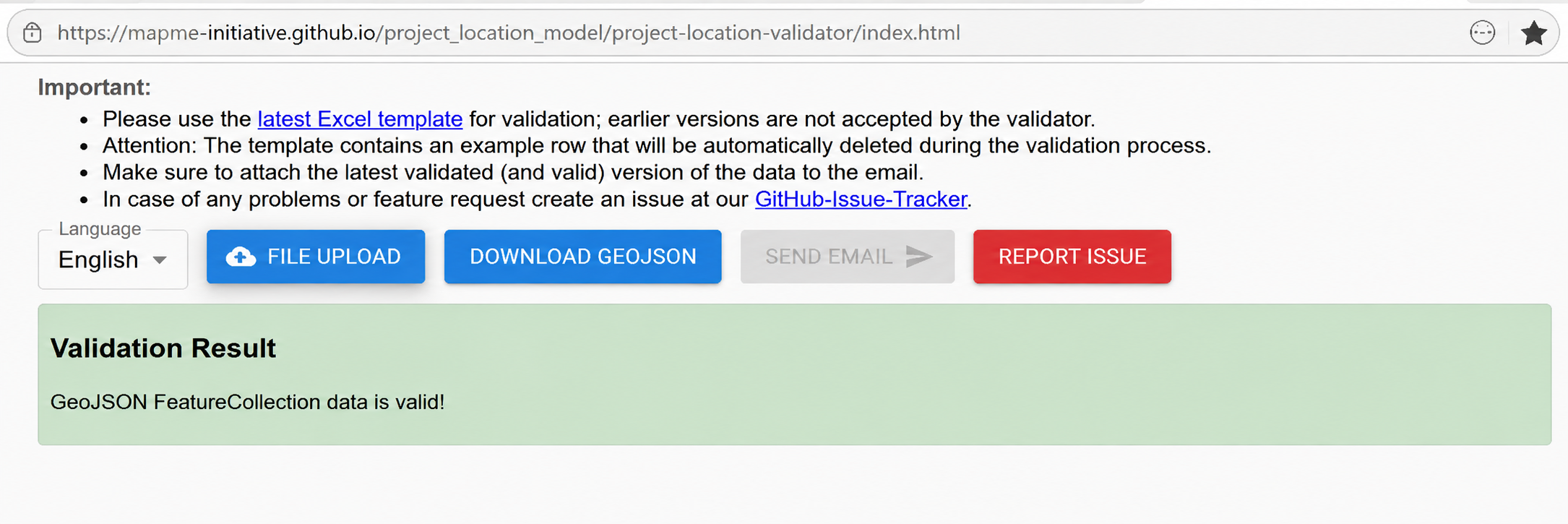
If validation passes, the Download GeoJSON button will change from grey to blue (active). A GeoJSON file with a unique timestamp and filename is generated.
Examples of validation results
Validation errors
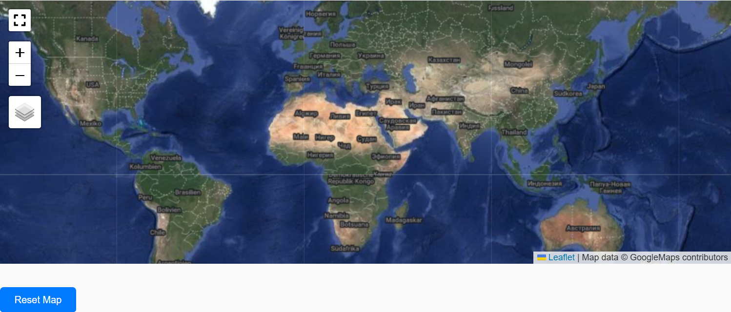
- No Project Locations displayed on the map or displayed incorrectly
- GeoJSON will not be generated; Download GeoJSON button remains grey (disabled)
Review error messages in the validator and correct source data in the PLM before re-validating.
Validation passed
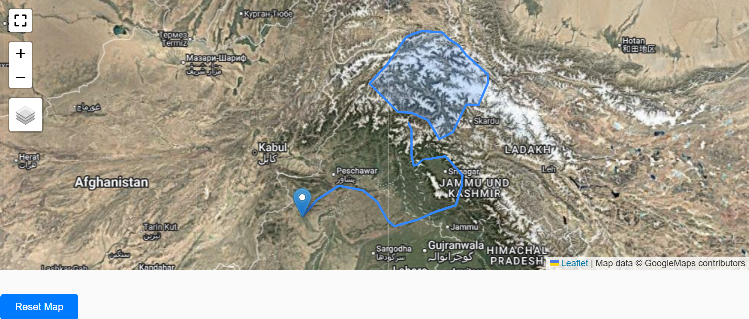
- Multi-geometry Project Locations displayed on the map
- GeoJSON of the validated file is generated and can be downloaded; Download GeoJSON button changes to blue (enabled)
Outputs
| Item | Format | Notes |
|---|---|---|
| Validated Project-level Locations | GeoJSON | Timestamp + unique filename automatically generated |